C3415 : Road at Creeve
taken 15 years ago, 3 km from Church Town, Co Donegal, Ireland
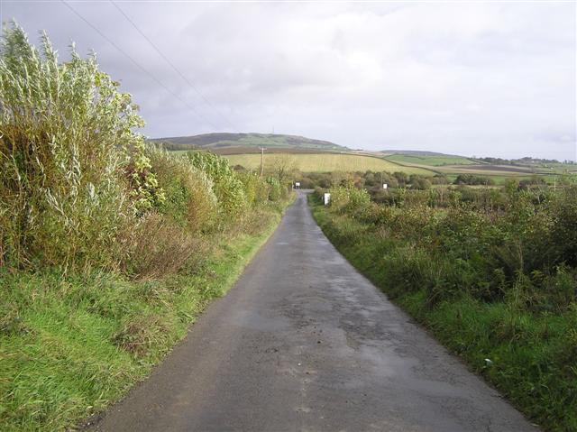
Road at Creeve
Heading north-east to join the R237
![Creative Commons Licence [Some Rights Reserved]](https://s1.geograph.org.uk/img/somerights20.gif)
|
· Find out How to reuse this image ·
Share:
|
|||||
| Start a discussion on C3415 | Suggest an update to this image | Contact the contributor | |||
Loading map... (JavaScript required)
- Grid Square
- C3415, 5 images (more nearby
 )
)
- Photographer
- Kenneth Allen (find more nearby)
- Date Taken
- Wednesday, 22 October, 2008 (more nearby)
- Submitted
- Thursday, 23 October, 2008
- Category
- Country road (more nearby)
- Subject Location
-
Irish:
 C 344 155 [100m precision]
WGS84: 54:59.1760N 7:27.7854W - Camera Location
-
Irish: C 343 154
- View Direction
- Northeast (about 45 degrees)
This page has been viewed about 31 times.
View this location:
KML (Google Earth) ·
Google Maps ·
Bing Maps ·
Geograph Coverage Map ·
More Links for this image
·
Bing Maps ·
Geograph Coverage Map ·
More Links for this image