B8314 : Ruined buildings on the horizon and cattle pens in the foreground - Ardmeen Townland
taken 15 years ago, 3 km from Loughanure, Co Donegal, Ireland
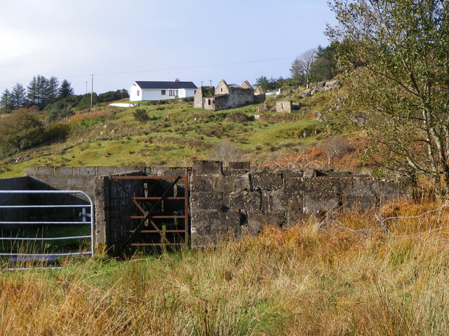
Ruined buildings on the horizon and cattle pens in the foreground - Ardmeen Townland
The ruins seem to be in relatively good repair.
![Creative Commons Licence [Some Rights Reserved]](https://s1.geograph.org.uk/img/somerights20.gif)
|
· Find out How to reuse this image ·
Share:
|
|||||
| Start a discussion on B8314 | Suggest an update to this image | Contact the contributor | |||
Loading map... (JavaScript required)
- Grid Square
- B8314 (more nearby
 )
)
- Photographer
- Mac McCarron (find more nearby)
- Date Taken
- Monday, 27 October, 2008 (more nearby)
- Submitted
- Saturday, 1 November, 2008
- Geographical Context
- Category
- Ruins > Ruins (more nearby)
- Subject Location
-
Irish:
 B 830 145 [100m precision]
WGS84: 54:58.6638N 8:15.9747W - Camera Location
-
Irish: B 834 143
- View Direction
- West-northwest (about 292 degrees)
Other Tags
This page has been viewed about 86 times.
View this location:
KML (Google Earth) ·
Google Maps ·
Bing Maps ·
Geograph Coverage Map ·
More Links for this image
·
Bing Maps ·
Geograph Coverage Map ·
More Links for this image