B7418 : Halla Mhuire at Belcruit - Belcruit Townland
taken 15 years ago, near to Kincaslough, Co Donegal, Ireland
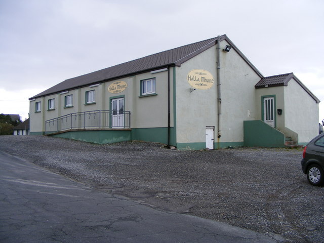
Halla Mhuire at Belcruit - Belcruit Townland
Church hall
![Creative Commons Licence [Some Rights Reserved]](https://s1.geograph.org.uk/img/somerights20.gif)
|
· Find out How to reuse this image ·
Share:
|
|||||
| Start a discussion on B7418 | Suggest an update to this image | Contact the contributor | |||
Loading map... (JavaScript required)
- Grid Square
- B7418, 20 images (more nearby
 )
)
- Photographer
- Mac McCarron (find more nearby)
- Date Taken
- Tuesday, 28 October, 2008 (more nearby)
- Submitted
- Sunday, 2 November, 2008
- Geographical Context
- Category
- Church hall (more nearby)
- Subject Location
-
Irish:
 B 743 186 [100m precision]
WGS84: 55:0.8511N 8:24.1488W - Camera Location
-
Irish: B 743 186
- View Direction
- NORTH (about 0 degrees)
Other Tags
Image classification(about):
Geograph
This page has been viewed about 41 times.
View this location:
KML (Google Earth) ·
Google Maps ·
Bing Maps ·
Geograph Coverage Map ·
More Links for this image
·
Bing Maps ·
Geograph Coverage Map ·
More Links for this image