G7687 : Rough grazing, Maas Townland
taken 16 years ago, 4 km SE of Ardara, Co Donegal, Ireland
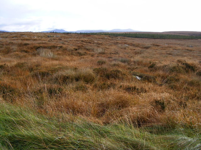
Rough grazing, Maas Townland
A very wet patch of ground.
![Creative Commons Licence [Some Rights Reserved]](https://s1.geograph.org.uk/img/somerights20.gif)
|
· Find out How to reuse this image ·
Share:
|
|||||
| Start a discussion on G7687 | Suggest an update to this image | Contact the contributor | |||
Loading map... (JavaScript required)
- Grid Square
- G7687 (more nearby
 )
)
- Photographer
- Mac McCarron (find more nearby)
- Date Taken
- Thursday, 31 January, 2008 (more nearby)
- Submitted
- Monday, 3 November, 2008
- Geographical Context
- Category
- Rough grazing (more nearby)
- Subject Location
-
Irish:
 G 765 876 [100m precision]
WGS84: 54:44.1502N 8:21.9339W - Camera Location
-
Irish: G 763 876
- View Direction
- Southwest (about 225 degrees)
Other Tags
This page has been viewed about 44 times.
View this location:
KML (Google Earth) ·
Google Maps ·
Bing Maps ·
Geograph Coverage Map ·
More Links for this image
·
Bing Maps ·
Geograph Coverage Map ·
More Links for this image