V9080 : Burn leading to Galway's River and Upper Lake
taken 16 years ago, 10 km N of Kenmare, Co Kerry, Ireland
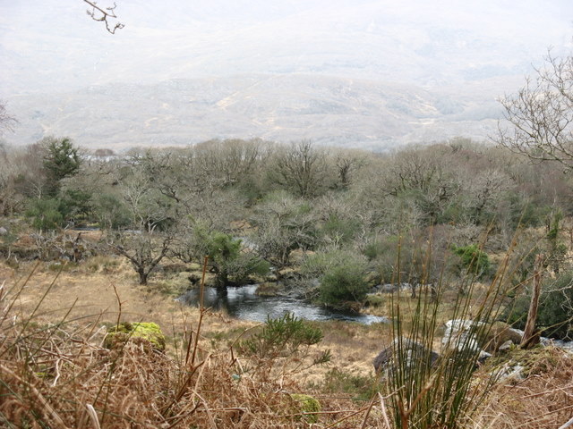
Burn leading to Galway's River and Upper Lake
Just across the folly V9080 : Castle or folly on the N71 between Ladies' view and Galway's Bridge
![Creative Commons Licence [Some Rights Reserved]](https://s1.geograph.org.uk/img/somerights20.gif)
|
· Find out How to reuse this image ·
Share:
|
|||||
| Start a discussion on V9080 | Suggest an update to this image | Contact the contributor | |||
Loading map... (JavaScript required)
- Grid Square
- V9080, 54 images (more nearby
 )
)
- Photographer
- Ulrich Hartmann (find more nearby)
- Date Taken
- Tuesday, 11 March, 2008 (more nearby)
- Submitted
- Wednesday, 14 January, 2009
- Category
- Burn (more nearby)
- Subject Location
-
Irish:
 V 907 803 [100m precision]
WGS84: 51:57.8735N 9:35.4569W - Camera Location
-
Irish: V 907 803
- View Direction
- NORTH (about 0 degrees)
Image classification(about):
Geograph
This page has been viewed about 72 times.
View this location:
KML (Google Earth) ·
Google Maps ·
Bing Maps ·
Geograph Coverage Map ·
More Links for this image
·
Bing Maps ·
Geograph Coverage Map ·
More Links for this image