B7517 : Road in Meenbannad area
taken 16 years ago, near to Kincaslough, Co Donegal, Ireland
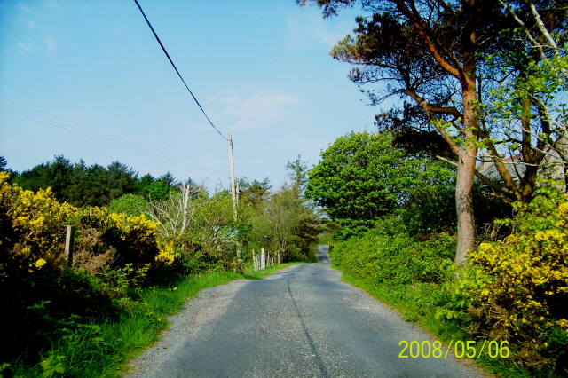
Road in Meenbannad area
Lost in the Meenbannad area on unmarked roads and trying to get back onto R259 to get to Burtonport. An elderly lady walking up the road towards us told us to continue down this road to the end and then turn right at Daniel O'Donnell's (present day) home to get to R259.
![Creative Commons Licence [Some Rights Reserved]](https://s1.geograph.org.uk/img/somerights20.gif)
|
· Find out How to reuse this image ·
Share:
|
|||||
| Start a discussion on B7517 | Suggest an update to this image | Contact the contributor | |||
Loading map... (JavaScript required)
- Grid Square
- B7517, 3 images (more nearby
 )
)
- Photographer
- Suzanne Mischyshyn (find more nearby)
- Date Taken
- Tuesday, 6 May, 2008 (more nearby)
- Submitted
- Saturday, 14 February, 2009
- Category
- Road scene (more nearby)
- Subject Location
-
Irish:
 B 751 172 [100m precision]
WGS84: 55:0.1261N 8:23.3446W - Camera Location
-
Irish: B 756 175
- View Direction
- West-southwest (about 247 degrees)
Image classification(about):
Geograph (Second Visitor for B7517)
This page has been viewed about 88 times.
View this location:
KML (Google Earth) ·
Google Maps ·
Bing Maps ·
Geograph Coverage Map ·
More Links for this image
·
Bing Maps ·
Geograph Coverage Map ·
More Links for this image