N2304 : Above the Camcor River valley
taken 15 years ago, 4 km S of Cadamstown, Co Offaly, Ireland
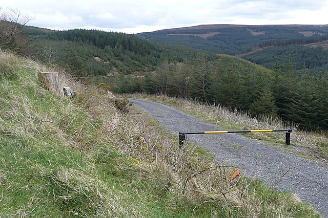
Above the Camcor River valley
A car park and picnic area on the R440 offers this fine view across the forested area into the Camcor River valley. The track is useable by walkers as part of the open access policy by the forestry company Coillte.
![Creative Commons Licence [Some Rights Reserved]](https://s1.geograph.org.uk/img/somerights20.gif)
|
· Find out How to reuse this image ·
Share:
|
|||||
| Start a discussion on N2304 | Suggest an update to this image | Contact the contributor | |||
Loading map... (JavaScript required)
- Grid Square
- N2304, 2 images (more nearby
 )
)
- Photographer
- Graham Horn (find more nearby)
- Date Taken
- Saturday, 11 April, 2009 (more nearby)
- Submitted
- Thursday, 16 April, 2009
- Category
- Woodland > Forestry (more nearby)
- Subject Location
-
Irish:
 N 233 043 [100m precision]
WGS84: 53:5.3721N 7:39.1696W - Camera Location
-
Irish: N 232 043
- View Direction
- East-southeast (about 112 degrees)
This page has been viewed about 53 times.
View this location:
KML (Google Earth) ·
Google Maps ·
Bing Maps ·
Geograph Coverage Map ·
More Links for this image
·
Bing Maps ·
Geograph Coverage Map ·
More Links for this image