2005
SP4407 : Farmoor
taken 19 years ago, near to Farmoor, Oxfordshire, England
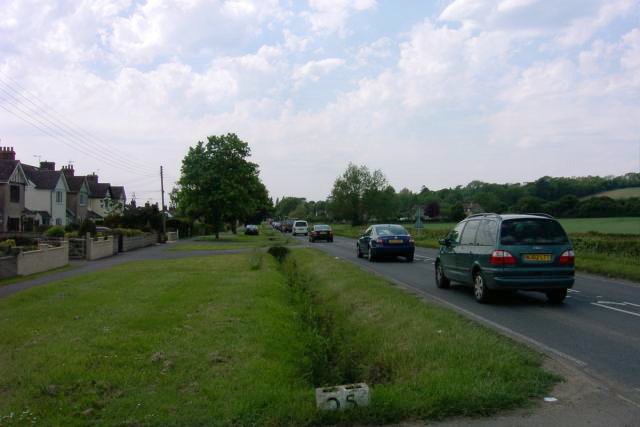
Farmoor
Farmoor consists mainly of houses situated on the western/southern side of the road from Cumnor to Eynsham. The hill on the right is Beacon Hill; the wood is Stroud Copse.
 Map © Crown Copyright")
TIP: Click the map for more Large scale mapping
- Grid Square
- SP4407, 55 images (more nearby 🔍)
- Photographer
- Tom Pullman (more nearby)
- Date Taken
- Friday, 27 May, 2005 (more nearby)
- Submitted
- Friday, 27 May, 2005
- Subject Location
-
OSGB36:
 SP 449 071 [100m precision]
WGS84: 51:45.6475N 1:21.0505W