2009
SH5910 : Steep track above Llwyngwril
taken 15 years ago, near to Llwyngwril, Gwynedd, Wales
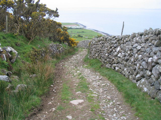
Steep track above Llwyngwril
Looking down to the shore from a steep section of the green track above Llwyngwril. Taking a photograph is always a useful excuse to stop and catch your breath! The caravan site next to the mouth of the Afon Gwril is visible in the distance.
 Map © Crown Copyright")
TIP: Click the map for more Large scale mapping
- Grid Square
- SH5910, 45 images (more nearby 🔍)
- Photographer
- E Gammie (more nearby)
- Date Taken
- Sunday, 10 May, 2009 (more nearby)
- Submitted
- Tuesday, 19 May, 2009
- Subject Location
-
OSGB36:
 SH 5990 1015 [10m precision]
WGS84: 52:40.2538N 4:4.4028W - Camera Location
-
OSGB36: SH 5994 1015
- View Direction
- WEST (about 270 degrees)