H1896 : Townland,Cavan Upper
taken 15 years ago, 3 km from Killygordon, Co Donegal, Ireland
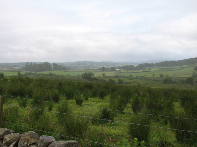
Townland,Cavan Upper
Looking roughly S.S/West towards Stranorlar/Ballybofey.
![Creative Commons Licence [Some Rights Reserved]](https://s1.geograph.org.uk/img/somerights20.gif)
|
· Find out How to reuse this image ·
Share:
|
|||||
| Start a discussion on H1896 | Suggest an update to this image | Contact the contributor | |||
Loading map... (JavaScript required)
- Grid Square
- H1896, 5 images (more nearby
 )
)
- Photographer
- Willie Duffin (find more nearby)
- Date Taken
- Saturday, 20 June, 2009 (more nearby)
- Submitted
- Thursday, 2 July, 2009
- Category
- Landscape (more nearby)
- Subject Location
-
Irish:
 H 180 964 [100m precision]
WGS84: 54:48.9282N 7:43.1714W - Camera Location
-
Irish: H 181 969
- View Direction
- SOUTH (about 180 degrees)
Image classification(about):
Geograph
This page has been viewed about 48 times.
View this location:
KML (Google Earth) ·
Google Maps ·
Bing Maps ·
Geograph Coverage Map ·
More Links for this image
·
Bing Maps ·
Geograph Coverage Map ·
More Links for this image