N4435 : Level crossing: peat railway near Tyrrellspass, Co. Westmeath
taken 15 years ago, 4 km SE of Tyrrellspass, Co Westmeath, Ireland
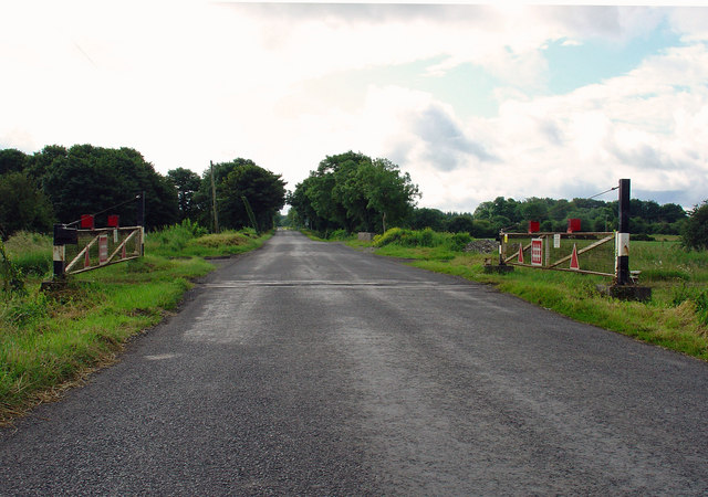
Level crossing: peat railway near Tyrrellspass, Co. Westmeath
1500 km of 3 ft gauge railways criss-cross the peat workings of the Irish midlands.
![Creative Commons Licence [Some Rights Reserved]](https://s1.geograph.org.uk/img/somerights20.gif)
|
· Find out How to reuse this image ·
Share:
|
|||||
| Start a discussion on N4435 | Suggest an update to this image | Contact the contributor | |||
Loading map... (JavaScript required)
- Grid Square
- N4435 (more nearby
 )
)
- Photographer
- Dylan Moore (find more nearby)
- Date Taken
- Friday, 3 July, 2009 (more nearby)
- Submitted
- Tuesday, 7 July, 2009
- Category
- Level crossing (more nearby)
- Subject Location
-
Irish:
 N 44711 35294 [1m precision]
WGS84: 53:21.9715N 7:19.7457W - Camera Location
-
Irish: N 44693 35312
- View Direction
- Southeast (about 135 degrees)
This page has been viewed about 297 times.
View this location:
KML (Google Earth) ·
Google Maps ·
Bing Maps ·
Geograph Coverage Map ·
More Links for this image
·
Bing Maps ·
Geograph Coverage Map ·
More Links for this image