H1946 : Quarry at Magheradunbar
taken 15 years ago, 5 km NW of Enniskillen, Co Fermanagh, Northern Ireland
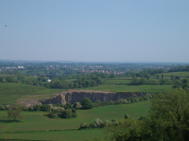
Quarry at Magheradunbar
A view towards Enniskillen overlooking the quarrying of limestone at Magheradunbar.
![Creative Commons Licence [Some Rights Reserved]](https://s1.geograph.org.uk/img/somerights20.gif)
|
· Find out How to reuse this image ·
Share:
|
|||||
| Start a discussion on H1946 | Suggest an update to this image | Contact the contributor | |||
Loading map... (JavaScript required)
- Grid Square
- H1946, 3 images (more nearby
 )
)
- Photographer
- Gareth Buchanan (find more nearby)
- Date Taken
- Sunday, 31 May, 2009 (more nearby)
- Submitted
- Tuesday, 14 July, 2009
- Category
- Quarry (more nearby)
- Subject Location
-
Irish:
 H 199 468 [100m precision]
WGS84: 54:22.2068N 7:41.6649W - Camera Location
-
Irish: H 193 474
- View Direction
- Southeast (about 135 degrees)
Image classification(about):
Supplemental image
This page has been viewed about 100 times.
View this location:
KML (Google Earth) ·
Google Maps ·
Bing Maps ·
Geograph Coverage Map ·
More Links for this image
·
Bing Maps ·
Geograph Coverage Map ·
More Links for this image