G8859 : Manger Townland
taken 15 years ago, near to Ballyshannon, Co Donegal, Ireland
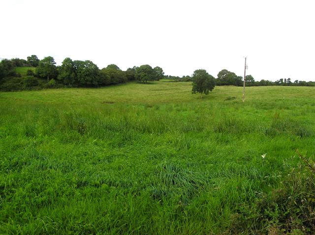
Manger Townland
Looking WNW
![Creative Commons Licence [Some Rights Reserved]](https://s1.geograph.org.uk/img/somerights20.gif)
|
· Find out How to reuse this image ·
Share:
|
|||||
| Start a discussion on G8859 | Suggest an update to this image | Contact the contributor | |||
Loading map... (JavaScript required)
- Grid Square
- G8859, 2 images (more nearby
 )
)
- Photographer
- Kenneth Allen (find more nearby)
- Date Taken
- Thursday, 30 July, 2009 (more nearby)
- Submitted
- Friday, 31 July, 2009
- Category
- Countryside (more nearby)
- Subject Location
-
Irish:
 G 887 598 [100m precision]
WGS84: 54:29.2080N 8:10.4505W - Camera Location
-
Irish: G 888 598
- View Direction
- West-northwest (about 292 degrees)
This page has been viewed about 56 times.
View this location:
KML (Google Earth) ·
Google Maps ·
Bing Maps ·
Geograph Coverage Map ·
More Links for this image
·
Bing Maps ·
Geograph Coverage Map ·
More Links for this image