T0853 : Barley field east of Camolin
taken 15 years ago, near to Camolin, Co Wexford, Ireland
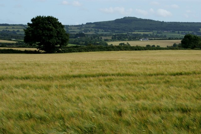
Barley field east of Camolin
Looking south from the N11 at Ballinclare. The forested slopes of Carrigroe Hill can be seen in the distance.
![Creative Commons Licence [Some Rights Reserved]](https://s1.geograph.org.uk/img/somerights20.gif)
|
· Find out How to reuse this image ·
Share:
|
|||||
| Start a discussion on T0853 | Suggest an update to this image | Contact the contributor | |||
Loading map... (JavaScript required)
- Grid Square
- T0853 (more nearby
 )
)
- Photographer
- Simon Mortimer (find more nearby)
- Date Taken
- Sunday, 12 July, 2009 (more nearby)
- Submitted
- Monday, 24 August, 2009
- Category
- Cropland (more nearby)
- Subject Location
-
Irish:
 T 083 535 [100m precision]
WGS84: 52:37.3661N 6:24.0471W - Camera Location
-
Irish: T 082 537
- View Direction
- South-southeast (about 157 degrees)
This page has been viewed about 84 times.
View this location:
KML (Google Earth) ·
Google Maps ·
Bing Maps ·
Geograph Coverage Map ·
More Links for this image
·
Bing Maps ·
Geograph Coverage Map ·
More Links for this image