J2369 : Signs at Mullaghglass
taken 15 years ago, 5 km NW of Lambeg, Co Antrim, Northern Ireland
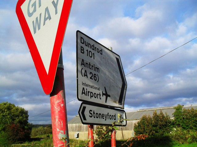
Signs at Mullaghglass
Along the B101 Rock Road on the way to Dundrod from Lisburn - at Stoneyford Road.
![Creative Commons Licence [Some Rights Reserved]](https://s1.geograph.org.uk/img/somerights20.gif)
|
· Find out How to reuse this image ·
Share:
|
|||||
| Start a discussion on J2369 | Suggest an update to this image | Contact the contributor | |||
Loading map... (JavaScript required)
- Grid Square
- J2369, 13 images (more nearby
 )
)
- Photographer
- Dean Molyneaux (find more nearby)
- Date Taken
- Friday, 25 September, 2009 (more nearby)
- Submitted
- Friday, 25 September, 2009
- Category
- Signs (more nearby)
- Subject Location
-
Irish:
 J 235 694 [100m precision]
WGS84: 54:33.4856N 6:5.4406W - Camera Location
-
Irish: J 235 694
- View Direction
- Northeast (about 45 degrees)
Image classification(about):
Supplemental image
This page has been viewed about 57 times.
View this location:
KML (Google Earth) ·
Google Maps ·
Bing Maps ·
Geograph Coverage Map ·
More Links for this image
·
Bing Maps ·
Geograph Coverage Map ·
More Links for this image