M1579 : Ballintubber Abbey, Co. Mayo
taken 36 years ago, near to Ballintober, Co Mayo, Ireland
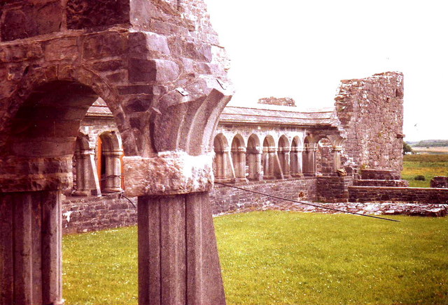
Ballintubber Abbey, Co. Mayo
![Creative Commons Licence [Some Rights Reserved]](https://s1.geograph.org.uk/img/somerights20.gif)
|
· Find out How to reuse this image ·
Share:
|
|||||
| Start a discussion on M1579 | Suggest an update to this image | Contact the contributor | |||
Loading map... (JavaScript required)
- Grid Square
- M1579, 16 images (more nearby
 )
)
- Photographer
- nick macneill (find more nearby)
- Date Taken
- Sunday, 19 June, 1988 (more nearby)
- Submitted
- Friday, 15 January, 2010
- Category
- Religious buildings > Abbey (more nearby)
- Subject Location
-
Irish:
 M 151 795 [100m precision]
WGS84: 53:45.5004N 9:17.2782W - Camera Location
-
Irish: M 151 795
- View Direction
- Southwest (about 225 degrees)
Other Tags
Image classification(about):
Geograph (Second Visitor for M1579)
· First in 5 Years (TPoint) (about)
This page has been viewed about 68 times.
View this location:
KML (Google Earth) ·
Google Maps ·
Bing Maps ·
Geograph Coverage Map ·
More Links for this image
·
Bing Maps ·
Geograph Coverage Map ·
More Links for this image