V3198 : Pasture on the slopes of Mount Eagle
taken 19 years ago, near to Dunquin, Co Kerry, Ireland
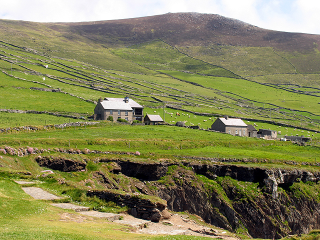
Pasture on the slopes of Mount Eagle
This view takes a bearing of 120 degrees up the slopes incorporating the houses marked on the OSI map.
![Creative Commons Licence [Some Rights Reserved]](https://s1.geograph.org.uk/img/somerights20.gif)
|
· Find out How to reuse this image ·
Share:
|
|||||
| Start a discussion on V3198 | Suggest an update to this image | Contact the contributor | |||
Loading map... (JavaScript required)
- Grid Square
- V3198, 45 images (more nearby
 )
)
- Photographer
- Pam Brophy (find more nearby)
- Date Taken
- Monday, 30 May, 2005 (more nearby)
- Submitted
- Thursday, 9 June, 2005
- Category
- Mountains > Mountains (more nearby)
- Subject Location
-
Irish:
 V 31180 98164 [1m precision]
WGS84: 52:6.6049N 10:27.9008W
Image classification(about):
Geograph
This page has been viewed about 69 times.
View this location:
KML (Google Earth) ·
Google Maps ·
Bing Maps ·
Geograph Coverage Map ·
More Links for this image
·
Bing Maps ·
Geograph Coverage Map ·
More Links for this image