N9748 : Mound, Rathregan, Co Meath
taken 14 years ago, near to Batterstown, Co Meath, Ireland
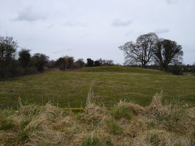
Mound, Rathregan, Co Meath.
On the ISO map, Discovery Series No 43, 1:50000, this feature is called a "mound". For a more detailed discussion on it and other features in the area, see Link (Archive Link )
![Creative Commons Licence [Some Rights Reserved]](https://s1.geograph.org.uk/img/somerights20.gif)
|
· Find out How to reuse this image ·
Share:
|
|||||
| Start a discussion on N9748 | Suggest an update to this image | Contact the contributor | |||
Loading map... (JavaScript required)
- Grid Square
- N9748, 2 images (more nearby
 )
)
- Photographer
- C O'Flanagan (find more nearby)
- Date Taken
- Tuesday, 23 March, 2010 (more nearby)
- Submitted
- Tuesday, 23 March, 2010
- Category
- Mound (more nearby)
- Subject Location
-
Irish:
 N 97388 48092 [1m precision]
WGS84: 53:28.4443N 6:32.0428W - Camera Location
-
Irish: N 97388 48092
- View Direction
- SOUTH (about 180 degrees)
This page has been viewed about 79 times.
View this location:
KML (Google Earth) ·
Google Maps ·
Bing Maps ·
Geograph Coverage Map ·
More Links for this image