R1173 : Moorland at Cloonlaheen West
taken 14 years ago, 7 km E of Mullagh, Co Clare, Ireland
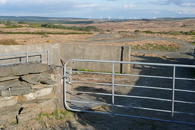
Moorland at Cloonlaheen West
The view is across moorland terrain on the higher land north of Doo Lough, which is unseen in the valley in the mid ground. Beyond is the wind farm at Booltiagh mainly in R1570
![Creative Commons Licence [Some Rights Reserved]](https://s1.geograph.org.uk/img/somerights20.gif)
|
· Find out How to reuse this image ·
Share:
|
|||||
| Start a discussion on R1173 | Suggest an update to this image | Contact the contributor | |||
Loading map... (JavaScript required)
- Grid Square
- R1173, 4 images (more nearby
 )
)
- Photographer
- Graham Horn (find more nearby)
- Date Taken
- Sunday, 18 April, 2010 (more nearby)
- Submitted
- Sunday, 9 May, 2010
- Category
- Moorland > Moorland (more nearby)
- Subject Location
-
Irish:
 R 113 736 [100m precision]
WGS84: 52:48.3866N 9:18.9610W - Camera Location
-
Irish: R 112 736
- View Direction
- Southeast (about 135 degrees)
This page has been viewed about 26 times.
View this location:
KML (Google Earth) ·
Google Maps ·
Bing Maps ·
Geograph Coverage Map ·
More Links for this image
·
Bing Maps ·
Geograph Coverage Map ·
More Links for this image