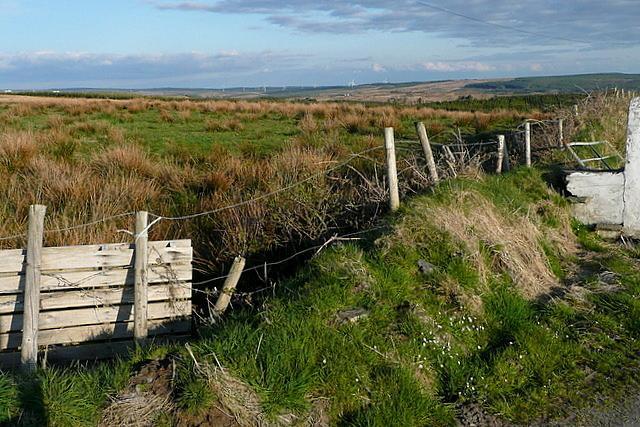
R1074 : Pasture at Coor West
taken 14 years ago, 6 km ENE of Mullagh, Co Clare, Ireland
This is 1 of 2 images, with title Pasture at Coor West in this square
Pasture at Coor West
The road runs along a low ridge, with views in both directions. This is south east across rough grazing land, with Booltiagh windfarm in the far distance in R1570
![Creative Commons Licence [Some Rights Reserved]](https://s1.geograph.org.uk/img/somerights20.gif)
|
· Find out How to reuse this image ·
Share:
|
|||||
| Start a discussion on R1074 | Suggest an update to this image | Contact the contributor | |||
Loading map... (JavaScript required)
- Grid Square
- R1074, 2 images (more nearby
 )
)
- Photographer
- Graham Horn (find more nearby)
- Date Taken
- Sunday, 18 April, 2010 (more nearby)
- Submitted
- Sunday, 9 May, 2010
- Category
- Rough grazing (more nearby)
- Subject Location
-
Irish:
 R 108 744 [100m precision]
WGS84: 52:48.8129N 9:19.4189W - Camera Location
-
Irish: R 107 744
- View Direction
- South-southeast (about 157 degrees)
This page has been viewed about 19 times.
View this location:
KML (Google Earth) ·
Google Maps ·
Bing Maps ·
Geograph Coverage Map ·
More Links for this image
·
Bing Maps ·
Geograph Coverage Map ·
More Links for this image