C0709 : Bungalow, Crossogs
taken 14 years ago, 6 km S of Church Hill, Co Donegal, Ireland
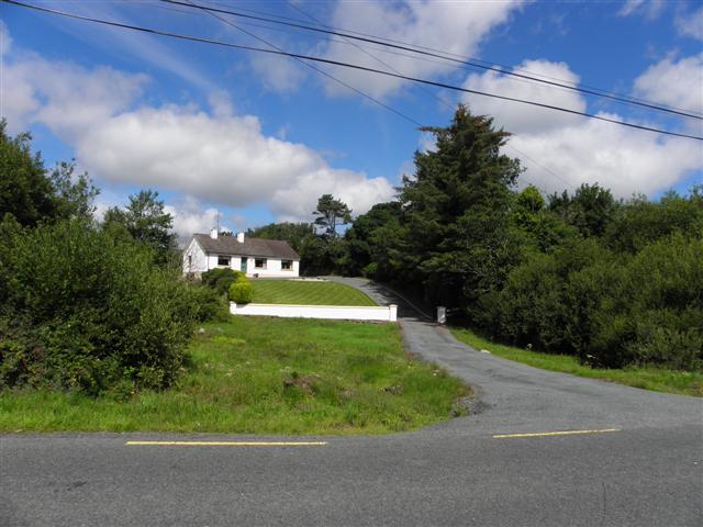
Bungalow, Crossogs
Looking north-west along the R250
![Creative Commons Licence [Some Rights Reserved]](https://s1.geograph.org.uk/img/somerights20.gif)
|
· Find out How to reuse this image ·
Share:
|
|||||
| Start a discussion on C0709 | Suggest an update to this image | Contact the contributor | |||
Loading map... (JavaScript required)
- Grid Square
- C0709, 2 images (more nearby
 )
)
- Photographer
- Kenneth Allen (find more nearby)
- Date Taken
- Thursday, 22 July, 2010 (more nearby)
- Submitted
- Friday, 23 July, 2010
- Category
- Bungalows (more nearby)
- Subject Location
-
Irish:
 C 071 097 [100m precision]
WGS84: 54:56.1074N 7:53.3336W - Camera Location
-
Irish: C 072 096
- View Direction
- Northwest (about 315 degrees)
This page has been viewed about 21 times.
View this location:
KML (Google Earth) ·
Google Maps ·
Bing Maps ·
Geograph Coverage Map ·
More Links for this image
·
Bing Maps ·
Geograph Coverage Map ·
More Links for this image