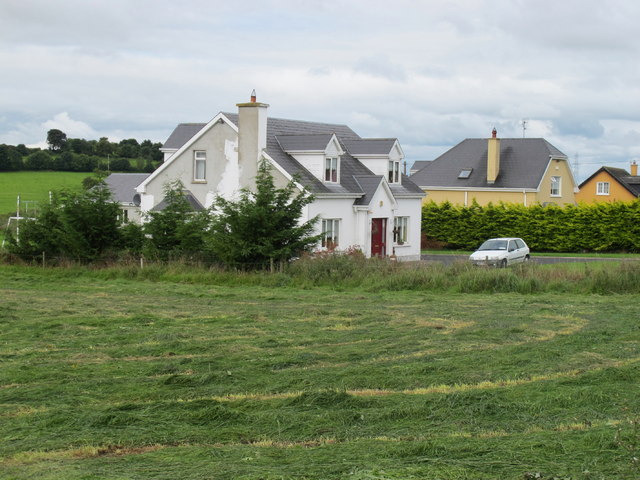
R6352 : Houses near Carrigparson
taken 14 years ago, near to Whitehall, Co Limerick, Ireland
![Creative Commons Licence [Some Rights Reserved]](https://s1.geograph.org.uk/img/somerights20.gif)
|
· Find out How to reuse this image ·
Share:
|
|||||
| Start a discussion on R6352 | Suggest an update to this image | Contact the contributor | |||
Loading map... (JavaScript required)
- Grid Square
- R6352, 2 images (more nearby
 )
)
- Photographer
- David Hawgood (find more nearby)
- Date Taken
- Thursday, 12 August, 2010 (more nearby)
- Submitted
- Sunday, 29 August, 2010
- Category
- Houses > Houses (more nearby)
- Subject Location
-
Irish:
 R 631 525 [100m precision]
WGS84: 52:37.4161N 8:32.6656W - Camera Location
-
Irish: R 632 525
- View Direction
- West-northwest (about 292 degrees)
Image classification(about):
Geograph
This page has been viewed about 39 times.
View this location:
KML (Google Earth) ·
Google Maps ·
Bing Maps ·
Geograph Coverage Map ·
More Links for this image
·
Bing Maps ·
Geograph Coverage Map ·
More Links for this image