W1829 : Reen Point
taken 14 years ago, near to Castletownshend, Co Cork, Ireland
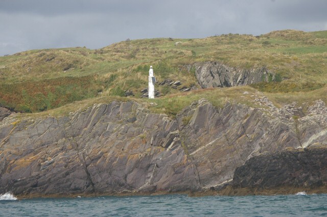
Reen Point
Navigational light at Reen Point
![Creative Commons Licence [Some Rights Reserved]](https://s1.geograph.org.uk/img/somerights20.gif)
|
· Find out How to reuse this image ·
Share:
|
|||||
| Start a discussion on W1829 | Suggest an update to this image | Contact the contributor | |||
Loading map... (JavaScript required)
- Grid Square
- W1829, 2 images (more nearby
 )
)
- Photographer
- Steve Edge (find more nearby)
- Date Taken
- Tuesday, 7 September, 2010 (more nearby)
- Submitted
- Sunday, 12 September, 2010
- Category
- Navigation beacon (more nearby)
- Subject Location
-
Irish:
 W 1845 2996 [10m precision]
WGS84: 51:31.0193N 9:10.5314W - Camera Location
-
Irish: W 1830 2995
- View Direction
- EAST (about 90 degrees)
This page has been viewed about 77 times.
View this location:
KML (Google Earth) ·
Google Maps ·
Bing Maps ·
Geograph Coverage Map ·
More Links for this image
·
Bing Maps ·
Geograph Coverage Map ·
More Links for this image