J3472 : Bandstand, Ormeau Park, Belfast (2)
taken 14 years ago, near to Belfast, Co Antrim, Northern Ireland
This is 1 of 2 images, with title Bandstand, Ormeau Park, Belfast (2) in this square
Bandstand, Ormeau Park, Belfast (2)
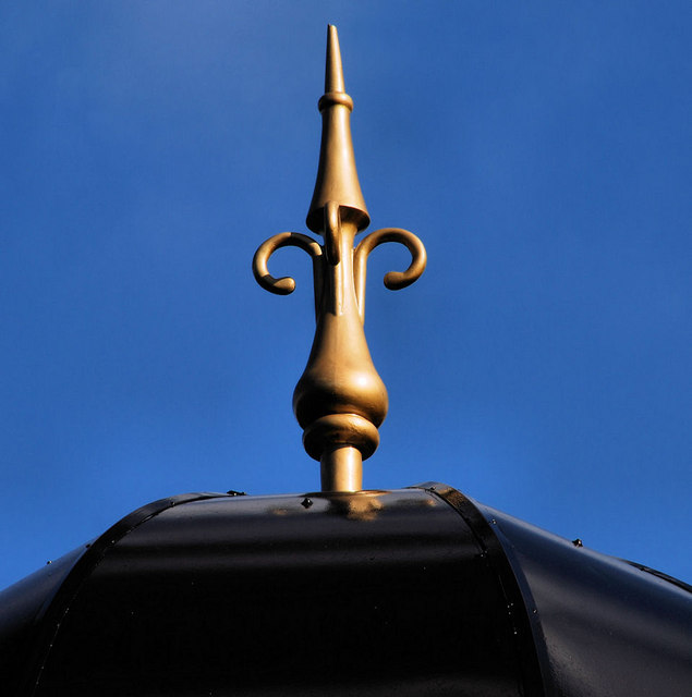
See J3472 : Bandstand, Ormeau park, Belfast (2). The finial on the roof
Ormeau Park, Belfast
A 100 acre park, between the Ormeau and Ravenhill Roads, originally part of the Donegall estate. Sold to Belfast Corporation in 1869 and opened as a park in 1871. The M4 (never built) would have cut through it.
![Creative Commons Licence [Some Rights Reserved]](https://s1.geograph.org.uk/img/somerights20.gif)
|
· Find out How to reuse this image ·
Share:
|
|||||
| Start a discussion on J3472 | Suggest an update to this image | Contact the contributor | |||
Loading map... (JavaScript required)
- Grid Square
- J3472, 419 images (more nearby
 )
)
- Photographer
- Albert Bridge (find more nearby)
- Date Taken
- Wednesday, 15 September, 2010 (more nearby)
- Submitted
- Wednesday, 15 September, 2010
- Category
- Architectural feature (more nearby)
- Subject Location
-
Irish:
 J 347 724 [100m precision]
WGS84: 54:34.9411N 5:54.9868W - Camera Location
-
Irish: J 347 724
Image classification(about):
Supplemental image
This page has been viewed about 57 times.
View this location:
KML (Google Earth) ·
Google Maps ·
Bing Maps ·
Geograph Coverage Map ·
More Links for this image
·
Bing Maps ·
Geograph Coverage Map ·
More Links for this image