G8377 : Ruined building at Keeney's Crossing
taken 14 years ago, near to Inver, Co Donegal, Ireland
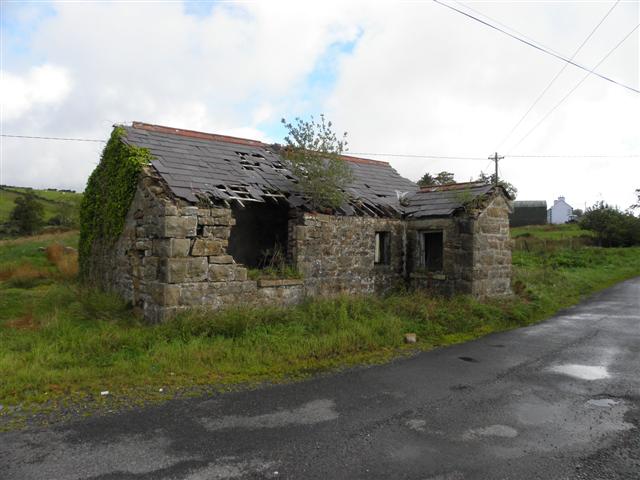
Ruined building at Keeney's Crossing
Initially I thought that this might have been an old National school
![Creative Commons Licence [Some Rights Reserved]](https://s1.geograph.org.uk/img/somerights20.gif)
|
· Find out How to reuse this image ·
Share:
|
|||||
| Start a discussion on G8377 | Suggest an update to this image | Contact the contributor | |||
Loading map... (JavaScript required)
- Grid Square
- G8377, 2 images (more nearby
 )
)
- Photographer
- Kenneth Allen (find more nearby)
- Date Taken
- Monday, 20 September, 2010 (more nearby)
- Submitted
- Tuesday, 21 September, 2010
- Category
- Ruins > Ruins (more nearby)
- Subject Location
-
Irish:
 G 838 771 [100m precision]
WGS84: 54:38.5300N 8:15.0160W - Camera Location
-
Irish: G 838 770
- View Direction
- North-northeast (about 22 degrees)
Image classification(about):
Geograph (Second Visitor for G8377)
This page has been viewed about 30 times.
View this location:
KML (Google Earth) ·
Google Maps ·
Bing Maps ·
Geograph Coverage Map ·
More Links for this image
·
Bing Maps ·
Geograph Coverage Map ·
More Links for this image