M1579 : Road by Ballintubber Abbey
taken 14 years ago, near to Ballintober, Co Mayo, Ireland
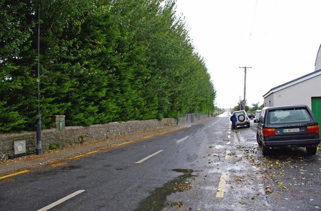
Road by Ballintubber Abbey
Behind the wall on the left is Ballintubber Abbey, and its attractive grounds. The road eventually connects with the N84 road. A postbox can be seen set into part of the wall. For a closer view of this, please see:- M1579 : Postbox by Ballintubber Abbey.
![Creative Commons Licence [Some Rights Reserved]](https://s1.geograph.org.uk/img/somerights20.gif)
|
· Find out How to reuse this image ·
Share:
|
|||||
| Start a discussion on M1579 | Suggest an update to this image | Contact the contributor | |||
Loading map... (JavaScript required)
- Grid Square
- M1579, 16 images (more nearby
 )
)
- Photographer
- P L Chadwick (find more nearby)
- Date Taken
- Monday, 13 September, 2010 (more nearby)
- Submitted
- Tuesday, 5 October, 2010
- Category
- Road > Minor road (more nearby)
- Subject Location
-
Irish:
 M 154 793 [100m precision]
WGS84: 53:45.4448N 9:16.9399W - Camera Location
-
Irish: M 154 793
- View Direction
- West-northwest (about 292 degrees)
Image classification(about):
Geograph
This page has been viewed about 62 times.
View this location:
KML (Google Earth) ·
Google Maps ·
Bing Maps ·
Geograph Coverage Map ·
More Links for this image
·
Bing Maps ·
Geograph Coverage Map ·
More Links for this image