C3603 : Track, Ballydonaghty
taken 13 years ago, near to Ballymagorry, Co Tyrone, Northern Ireland
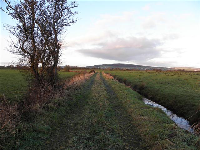
Track, Ballydonaghty
Heading west towards the old Strabane Canal beside the River Foyle
![Creative Commons Licence [Some Rights Reserved]](https://s1.geograph.org.uk/img/somerights20.gif)
|
· Find out How to reuse this image ·
Share:
|
|||||
| Start a discussion on C3603 | Suggest an update to this image | Contact the contributor | |||
Loading map... (JavaScript required)
- Grid Square
- C3603, 9 images (more nearby
 )
)
- Photographer
- Kenneth Allen (find more nearby)
- Date Taken
- Tuesday, 11 January, 2011 (more nearby)
- Submitted
- Tuesday, 11 January, 2011
- Category
- Track > Track (more nearby)
- Subject Location
-
Irish:
 C 361 033 [100m precision]
WGS84: 54:52.5937N 7:26.2653W - Camera Location
-
Irish: C 362 033
- View Direction
- WEST (about 270 degrees)
Image classification(about):
Geograph
This page has been viewed about 29 times.
View this location:
KML (Google Earth) ·
Google Maps ·
Bing Maps ·
Geograph Coverage Map ·
More Links for this image
·
Bing Maps ·
Geograph Coverage Map ·
More Links for this image