H3868 : Creamery cans, Tattysallagh
taken 13 years ago, 6 km NNE of Dromore, Co Tyrone, Northern Ireland
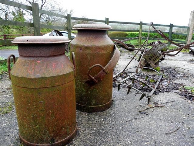
Creamery cans, Tattysallagh
Reminds me of bygone times on my grandad's farm near Ballygawley. You could have got the job of wheeling the creamery can to the county road up a rough lane. I can't ever remember the can coming off the barrow
![Creative Commons Licence [Some Rights Reserved]](https://s1.geograph.org.uk/img/somerights20.gif)
|
· Find out How to reuse this image ·
Share:
|
|||||
| Start a discussion on H3868 | Suggest an update to this image | Contact the contributor | |||
Loading map... (JavaScript required)
- Grid Square
- H3868, 62 images (more nearby
 )
)
- Photographer
- Kenneth Allen (find more nearby)
- Date Taken
- Tuesday, 5 April, 2011 (more nearby)
- Submitted
- Tuesday, 5 April, 2011
- Category
- Bygones (more nearby)
- Subject Location
-
Irish:
 H 384 680 [100m precision]
WGS84: 54:33.5319N 7:24.4323W - Camera Location
-
Irish: H 384 680
- View Direction
- SOUTH (about 180 degrees)
Image classification(about):
Supplemental image
This page has been viewed about 133 times.
View this location:
KML (Google Earth) ·
Google Maps ·
Bing Maps ·
Geograph Coverage Map ·
More Links for this image
·
Bing Maps ·
Geograph Coverage Map ·
More Links for this image