C0030 : Carrownamaddy Townland
taken 13 years ago, 5 km SSE of Castlebane, Co Donegal, Ireland
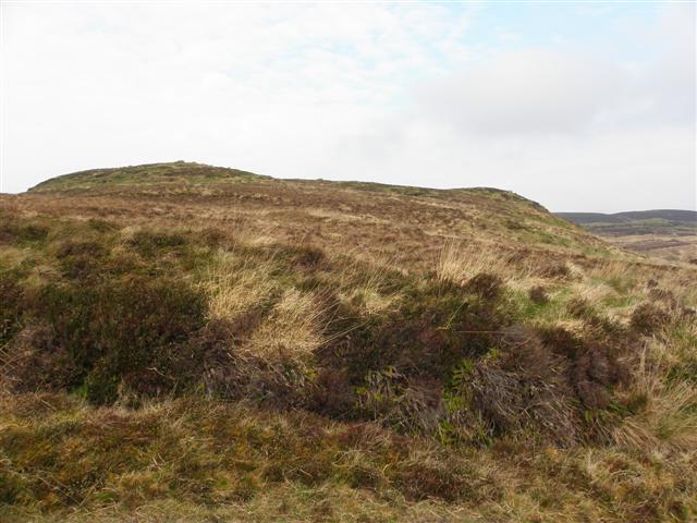
Carrownamaddy Townland
Looking north-west
![Creative Commons Licence [Some Rights Reserved]](https://s1.geograph.org.uk/img/somerights20.gif)
|
· Find out How to reuse this image ·
Share:
|
|||||
| Start a discussion on C0030 | Suggest an update to this image | Contact the contributor | |||
Loading map... (JavaScript required)
- Grid Square
- C0030, 6 images (more nearby
 )
)
- Photographer
- Kenneth Allen (find more nearby)
- Date Taken
- Thursday, 21 April, 2011 (more nearby)
- Submitted
- Friday, 22 April, 2011
- Category
- Countryside (more nearby)
- Subject Location
-
Irish:
 C 008 309 [100m precision]
WGS84: 55:7.5307N 7:59.2081W - Camera Location
-
Irish: C 009 308
- View Direction
- Northwest (about 315 degrees)
Image classification(about):
Geograph
This page has been viewed about 13 times.
View this location:
KML (Google Earth) ·
Google Maps ·
Bing Maps ·
Geograph Coverage Map ·
More Links for this image
·
Bing Maps ·
Geograph Coverage Map ·
More Links for this image