M2073 : Farm at Annies
taken 13 years ago, 4 km E of Partry, Co Mayo, Ireland
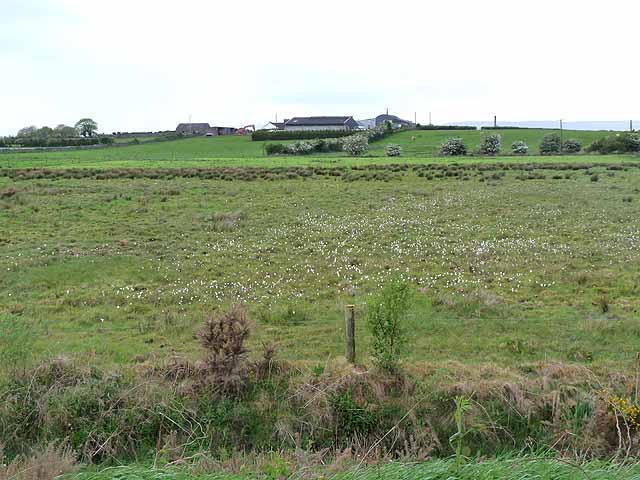
Farm at Annies
On a low hill overlooking Lough Carra beyond.
![Creative Commons Licence [Some Rights Reserved]](https://s1.geograph.org.uk/img/somerights20.gif)
|
· Find out How to reuse this image ·
Share:
|
|||||
| Start a discussion on M2073 | Suggest an update to this image | Contact the contributor | |||
Loading map... (JavaScript required)
- Grid Square
- M2073 (more nearby
 )
)
- Photographer
- Oliver Dixon (find more nearby)
- Date Taken
- Sunday, 8 May, 2011 (more nearby)
- Submitted
- Wednesday, 18 May, 2011
- Geographical Context
- Subject Location
-
Irish:
 M 200 731 [100m precision]
WGS84: 53:42.1415N 9:12.6511W - Camera Location
-
Irish: M 204 732
- View Direction
- West-southwest (about 247 degrees)
Other Tags
This page has been viewed about 29 times.
View this location:
KML (Google Earth) ·
Google Maps ·
Bing Maps ·
Geograph Coverage Map ·
More Links for this image
·
Bing Maps ·
Geograph Coverage Map ·
More Links for this image