B7318 : Road at Cruit Island
taken 13 years ago, near to Kincaslough, Co Donegal, Ireland
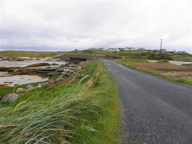
Road at Cruit Island
Heading WNW across the bridge from the mainland to the island
![Creative Commons Licence [Some Rights Reserved]](https://s1.geograph.org.uk/img/somerights20.gif)
|
· Find out How to reuse this image ·
Share:
|
|||||
| Start a discussion on B7318 | Suggest an update to this image | Contact the contributor | |||
Loading map... (JavaScript required)
- Grid Square
- B7318, 25 images (more nearby
 )
)
- Photographer
- Kenneth Allen (find more nearby)
- Date Taken
- Saturday, 21 May, 2011 (more nearby)
- Submitted
- Wednesday, 25 May, 2011
- Geographical Context
- Subject Location
-
Irish:
 B 738 187 [100m precision]
WGS84: 55:0.9143N 8:24.5903W - Camera Location
-
Irish: B 739 186
- View Direction
- West-northwest (about 292 degrees)
Other Tags
Image classification(about):
Geograph
This page has been viewed about 26 times.
View this location:
KML (Google Earth) ·
Google Maps ·
Bing Maps ·
Geograph Coverage Map ·
More Links for this image
·
Bing Maps ·
Geograph Coverage Map ·
More Links for this image