M2427 : Drum Cross Roads
taken 13 years ago, 5 km NNE of Barna, Co Galway, Ireland
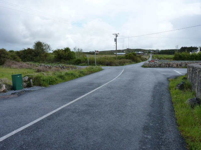
Drum Cross Roads
North west of Galway
![Creative Commons Licence [Some Rights Reserved]](https://s1.geograph.org.uk/img/somerights20.gif)
|
· Find out How to reuse this image ·
Share:
|
|||||
| Start a discussion on M2427 | Suggest an update to this image | Contact the contributor | |||
Loading map... (JavaScript required)
- Grid Square
- M2427 (more nearby
 )
)
- Photographer
- Rick Crowley (find more nearby)
- Date Taken
- Tuesday, 7 June, 2011 (more nearby)
- Submitted
- Tuesday, 7 June, 2011
- Geographical Context
- Subject Location
-
Irish:
 M 248 275 [100m precision]
WGS84: 53:17.5905N 9:7.6449W - Camera Location
-
Irish: M 247 275
- View Direction
- East-southeast (about 112 degrees)
This page has been viewed about 37 times.
View this location:
KML (Google Earth) ·
Google Maps ·
Bing Maps ·
Geograph Coverage Map ·
More Links for this image
·
Bing Maps ·
Geograph Coverage Map ·
More Links for this image