B8217 : Loch an Lúir (Loch Anure)
taken 13 years ago, near to Loughanure, Co Donegal, Ireland
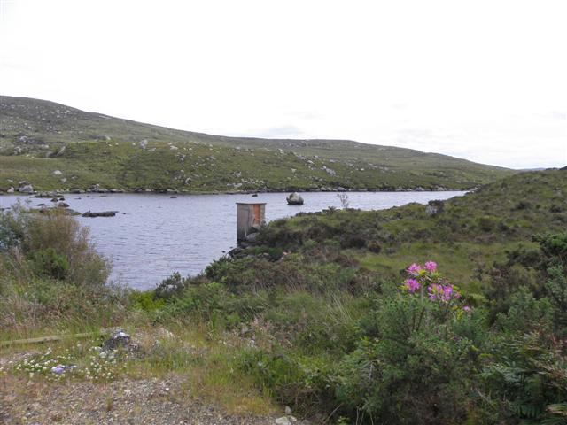
Loch an Lúir (Loch Anure)
The Gweedore River flows from it near here
![Creative Commons Licence [Some Rights Reserved]](https://s1.geograph.org.uk/img/somerights20.gif)
|
· Find out How to reuse this image ·
Share:
|
|||||
| Start a discussion on B8217 | Suggest an update to this image | Contact the contributor | |||
Loading map... (JavaScript required)
- Grid Square
- B8217, 3 images (more nearby
 )
)
- Photographer
- Kenneth Allen (find more nearby)
- Date Taken
- Tuesday, 14 June, 2011 (more nearby)
- Submitted
- Thursday, 16 June, 2011
- Geographical Context
- Subject Location
-
Irish:
 B 823 175 [100m precision]
WGS84: 55:0.3225N 8:16.5764W - Camera Location
-
Irish: B 822 176
- View Direction
- Southeast (about 135 degrees)
Other Tags
Image classification(about):
Geograph
This page has been viewed about 36 times.
View this location:
KML (Google Earth) ·
Google Maps ·
Bing Maps ·
Geograph Coverage Map ·
More Links for this image
·
Bing Maps ·
Geograph Coverage Map ·
More Links for this image