C2316 : Cashelshannaghan Townland
taken 13 years ago, 3 km from Ballymaleel, Co Donegal, Ireland
This is 1 of 2 images, with title Cashelshannaghan Townland in this square
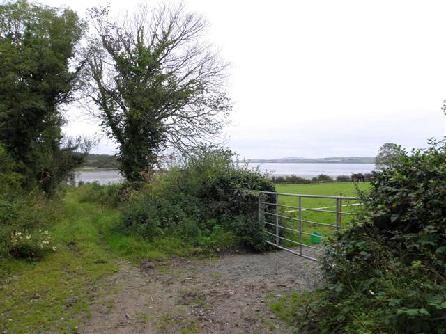
Cashelshannaghan Townland
Looking east towards Lough Swilly
![Creative Commons Licence [Some Rights Reserved]](https://s1.geograph.org.uk/img/somerights20.gif)
|
· Find out How to reuse this image ·
Share:
|
|||||
| Start a discussion on C2316 | Suggest an update to this image | Contact the contributor | |||
Loading map... (JavaScript required)
- Grid Square
- C2316, 2 images (more nearby
 )
)
- Photographer
- Kenneth Allen (find more nearby)
- Date Taken
- Monday, 22 August, 2011 (more nearby)
- Submitted
- Tuesday, 23 August, 2011
- Geographical Context
- Subject Location
-
Irish:
 C 232 163 [100m precision]
WGS84: 54:59.6674N 7:38.2406W - Camera Location
-
Irish: C 230 163
- View Direction
- EAST (about 90 degrees)
Other Tags
This page has been viewed about 19 times.
View this location:
KML (Google Earth) ·
Google Maps ·
Bing Maps ·
Geograph Coverage Map ·
More Links for this image
·
Bing Maps ·
Geograph Coverage Map ·
More Links for this image