C1910 : N14 Bonagee Road, Letterkenny
taken 13 years ago, 3 km from Letterkenny, Co Donegal, Ireland
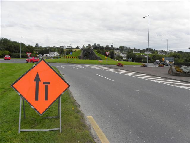
N14 Bonagee Road, Letterkenny
Looking ESE towards the Dry Arch Roundabout
![Creative Commons Licence [Some Rights Reserved]](https://s1.geograph.org.uk/img/somerights20.gif)
|
· Find out How to reuse this image ·
Share:
|
|||||
| Start a discussion on C1910 | Suggest an update to this image | Contact the contributor | |||
Loading map... (JavaScript required)
- Grid Square
- C1910, 21 images (more nearby
 )
)
- Photographer
- Kenneth Allen (find more nearby)
- Date Taken
- Monday, 22 August, 2011 (more nearby)
- Submitted
- Wednesday, 24 August, 2011
- Geographical Context
- Subject Location
-
Irish:
 C 195 106 [100m precision]
WGS84: 54:56.6051N 7:41.7885W - Camera Location
-
Irish: C 194 107
- View Direction
- East-southeast (about 112 degrees)
Other Tags
Image classification(about):
Geograph
This page has been viewed about 65 times.
View this location:
KML (Google Earth) ·
Google Maps ·
Bing Maps ·
Geograph Coverage Map ·
More Links for this image
·
Bing Maps ·
Geograph Coverage Map ·
More Links for this image