2011
SX8778 : Gate at Ugbrooke House
taken 13 years ago, near to Chudleigh, Devon, England
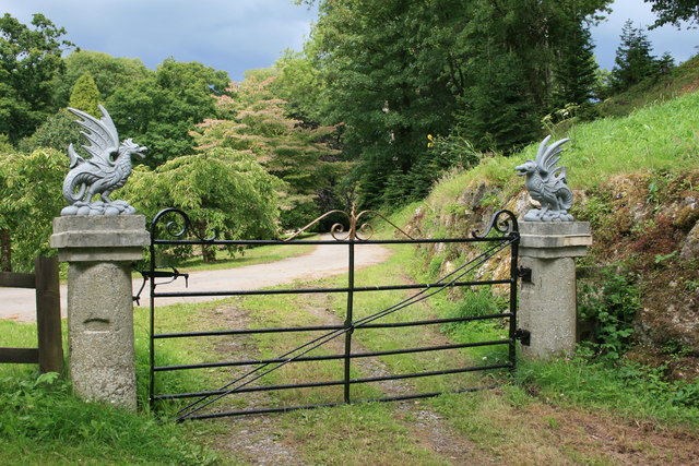
Gate at Ugbrooke House
Gate and pillars at the east end of the Higher Water.
 Map © Crown Copyright")
TIP: Click the map for more Large scale mapping
- Grid Square
- SX8778, 93 images (more nearby 🔍)
- Photographer
- Hugh Craddock (more nearby)
- Date Taken
- Thursday, 21 July, 2011 (more nearby)
- Submitted
- Monday, 5 September, 2011
- Subject Location
-
OSGB36:
 SX 8775 7828 [10m precision]
WGS84: 50:35.6053N 3:35.2337W - Camera Location
-
OSGB36: SX 8774 7827
- View Direction
- Northeast (about 45 degrees)