N5982 : Approaching the Knocknaveagh Cross Roads
taken 13 years ago, 4 km WSW of Lisduff, Co Cavan, Ireland
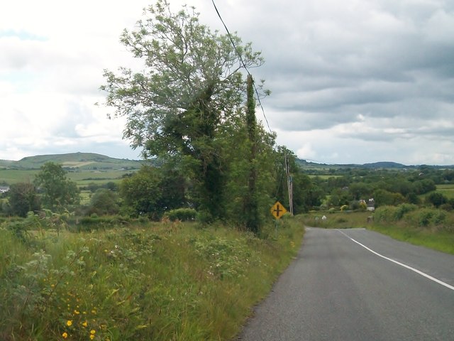
Approaching the Knocknaveagh Cross Roads
Loughcrew hill, with its Neolithic tombs can be seen in the background left.
![Creative Commons Licence [Some Rights Reserved]](https://s1.geograph.org.uk/img/somerights20.gif)
|
· Find out How to reuse this image ·
Share:
|
|||||
| Start a discussion on N5982 | Suggest an update to this image | Contact the contributor | |||
Loading map... (JavaScript required)
- Grid Square
- N5982, 3 images (more nearby
 )
)
- Photographer
- Eric Jones (find more nearby)
- Date Taken
- Wednesday, 29 June, 2011 (more nearby)
- Submitted
- Monday, 24 October, 2011
- Geographical Context
- Subject Location
-
Irish:
 N 599 820 [100m precision]
WGS84: 53:47.0776N 7:5.4471W - Camera Location
-
Irish: N 599 820
- View Direction
- South-southwest (about 202 degrees)
This page has been viewed about 26 times.
View this location:
KML (Google Earth) ·
Google Maps ·
Bing Maps ·
Geograph Coverage Map ·
More Links for this image
·
Bing Maps ·
Geograph Coverage Map ·
More Links for this image