J3975 : Two Belfast Water Works access covers, Belfast
taken 12 years ago, 3 km from Dundonald, Co Down, Northern Ireland
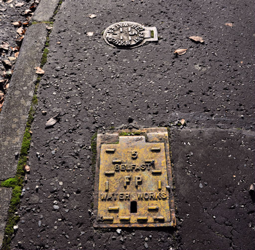
Two Belfast Water Works access covers, Belfast
Two Belfast Water Works covers at the Belmont Road end of Knockmarloch Park. The lower one covers a fire hydrant. The other might be a stop valve.
Manhole covers, foundry products etc, Northern Ireland
A series of photographs showing manhole covers, fire hydrants, gratings, foundry products, foundry plaques and inscriptions etc, in Northern Ireland.
![Creative Commons Licence [Some Rights Reserved]](https://s1.geograph.org.uk/img/somerights20.gif)
|
· Find out How to reuse this image ·
Share:
|
|||||
| Start a discussion on J3975 | Suggest an update to this image | Contact the contributor | |||
Loading map... (JavaScript required)
- Grid Square
- J3975, 81 images (more nearby
 )
)
- Photographer
- Albert Bridge (find more nearby)
- Date Taken
- Wednesday, 26 October, 2011 (more nearby)
- Submitted
- Wednesday, 26 October, 2011
- Geographical Context
- Subject Location
-
Irish:
 J 391 752 [100m precision]
WGS84: 54:36.3566N 5:50.8468W - Camera Location
-
Irish: J 391 752
- View Direction
- South-southeast (about 157 degrees)
Other Tags
Image classification(about):
Supplemental image
This page has been viewed about 42 times.
View this location:
KML (Google Earth) ·
Google Maps ·
Bing Maps ·
Geograph Coverage Map ·
More Links for this image
·
Bing Maps ·
Geograph Coverage Map ·
More Links for this image