J3876 : Gate, Tillysburn, Belfast
taken 12 years ago, 3 km from Holywood, Co Down, Northern Ireland
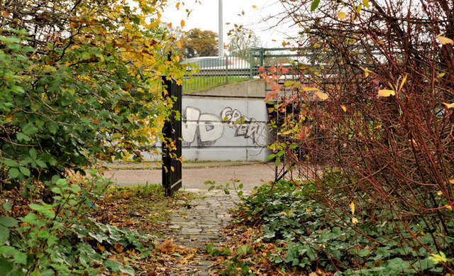
Gate, Tillysburn, Belfast
A gate, at the entrance to a landscaped area, close to this cycle path J3876 : Cycle paths, Tillysburn (4), on the western side of the Tillysburn road junction J3876 : Direction and lane sign, Knocknagoney/Tillysburn, Belfast. See also J3876 : Abandoned shopping trolleys, Belfast.
![Creative Commons Licence [Some Rights Reserved]](https://s1.geograph.org.uk/img/somerights20.gif)
|
· Find out How to reuse this image ·
Share:
|
|||||
| Start a discussion on J3876 | Suggest an update to this image | Contact the contributor | |||
Loading map... (JavaScript required)
- Grid Square
- J3876, 117 images (more nearby
 )
)
- Photographer
- Albert Bridge (find more nearby)
- Date Taken
- Monday, 31 October, 2011 (more nearby)
- Submitted
- Monday, 31 October, 2011
- Geographical Context
- Subject Location
-
Irish:
 J 381 765 [100m precision]
WGS84: 54:37.1161N 5:51.7264W - Camera Location
-
Irish: J 381 765
- View Direction
- Southeast (about 135 degrees)
Other Tags
Image classification(about):
Geograph
This page has been viewed about 89 times.
View this location:
KML (Google Earth) ·
Google Maps ·
Bing Maps ·
Geograph Coverage Map ·
More Links for this image
·
Bing Maps ·
Geograph Coverage Map ·
More Links for this image