R6876 : R463 road by entrance to Ballycuggaran Forest Recreation Area, near Killaloe, Co. Clare
taken 13 years ago, 3 km from Killaloe, Co Clare, Ireland
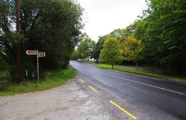
R463 road by entrance to Ballycuggaran Forest Recreation Area, near Killaloe, Co. Clare
The access road from the entrance on the left also carries part of the East Clare Way, a long distance footpath. The brown and white signs indicate its route.
R6876 : Ballycuggaran Forest Recreation Area - access road from R463 road, near Killaloe, Co. Clare.
R6876 : Ballycuggaran Forest Recreation Area - access road from R463 road, near Killaloe, Co. Clare.
![Creative Commons Licence [Some Rights Reserved]](https://s1.geograph.org.uk/img/somerights20.gif)
|
· Find out How to reuse this image ·
Share:
|
|||||
| Start a discussion on R6876 | Suggest an update to this image | Contact the contributor | |||
Loading map... (JavaScript required)
- Grid Square
- R6876, 12 images (more nearby
 )
)
- Photographer
- P L Chadwick (find more nearby)
- Date Taken
- Tuesday, 13 September, 2011 (more nearby)
- Submitted
- Friday, 9 December, 2011
- Geographical Context
- Subject Location
-
Irish:
 R 687 761 [100m precision]
WGS84: 52:50.1284N 8:27.8653W - Camera Location
-
Irish: R 687 760
- View Direction
- NORTH (about 0 degrees)
Other Tags
Image classification(about):
Geograph
This page has been viewed about 57 times.
View this location:
KML (Google Earth) ·
Google Maps ·
Bing Maps ·
Geograph Coverage Map ·
More Links for this image
·
Bing Maps ·
Geograph Coverage Map ·
More Links for this image