S0609 : Stream and Rough Terrain
taken 12 years ago, 8 km SW of Newcastle, Co Tipperary, Ireland
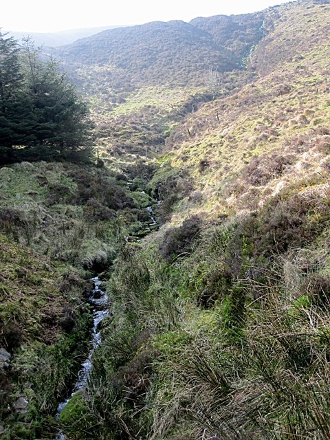
Stream and Rough Terrain
Stream enters forest in the rough terrain of Knockmealdown Mountains
![Creative Commons Licence [Some Rights Reserved]](https://s1.geograph.org.uk/img/somerights20.gif)
|
· Find out How to reuse this image ·
Share:
|
|||||
| Start a discussion on S0609 | Suggest an update to this image | Contact the contributor | |||
Loading map... (JavaScript required)
- Grid Square
- S0609, 2 images (more nearby
 )
)
- Photographer
- kevin higgins (find more nearby)
- Date Taken
- Sunday, 25 March, 2012 (more nearby)
- Submitted
- Thursday, 29 March, 2012
- Geographical Context
- Subject Location
-
Irish:
 S 066 090 [100m precision]
WGS84: 52:14.0289N 7:54.2301W - Camera Location
-
Irish: S 067 091
- View Direction
- Southwest (about 225 degrees)
This page has been viewed about 31 times.
View this location:
KML (Google Earth) ·
Google Maps ·
Bing Maps ·
Geograph Coverage Map ·
More Links for this image
·
Bing Maps ·
Geograph Coverage Map ·
More Links for this image