V7774 : Tooreennafersha
taken 18 years ago, 7 km NNW of Blackwater Bridge, Co Kerry, Ireland
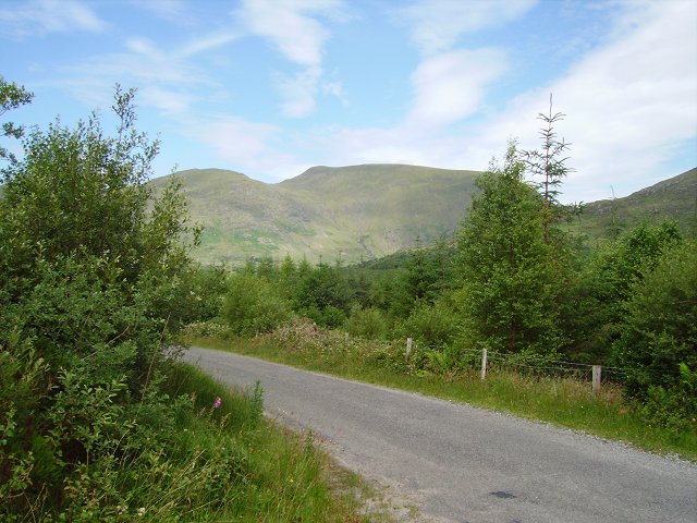
Tooreennafersha
The upper glen of the Blackwater is heavily forested. The trees here have yet to obscure the view of Stumpa Duloigh.
![Creative Commons Licence [Some Rights Reserved]](https://s1.geograph.org.uk/img/somerights20.gif)
|
· Find out How to reuse this image ·
Share:
|
|||||
| Start a discussion on V7774 | Suggest an update to this image | Contact the contributor | |||
Loading map... (JavaScript required)
- Grid Square
- V7774, 2 images (more nearby
 )
)
- Photographer
- Richard Webb (find more nearby)
- Date Taken
- Wednesday, 5 July, 2006 (more nearby)
- Submitted
- Sunday, 10 December, 2006
- Category
- Forest (more nearby)
- Subject Location
-
Irish:
 V 773 749 [100m precision]
WGS84: 51:54.7955N 9:47.0331W - View Direction
- NORTH (about 0 degrees)
This page has been viewed about 162 times.
View this location:
KML (Google Earth) ·
Google Maps ·
Bing Maps ·
Geograph Coverage Map ·
More Links for this image
·
Bing Maps ·
Geograph Coverage Map ·
More Links for this image