J0214 : Typical boccage nature of the border areas
taken 12 years ago, near to Forkhill, Co Armagh, Northern Ireland
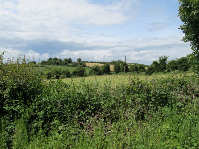
Typical boccage nature of the border areas
This type of terrain favoured the IRA and made command and control of such areas difficult for the Crown Forces.
![Creative Commons Licence [Some Rights Reserved]](https://s1.geograph.org.uk/img/somerights20.gif)
|
· Find out How to reuse this image ·
Share:
|
|||||
| Start a discussion on J0214 | Suggest an update to this image | Contact the contributor | |||
Loading map... (JavaScript required)
- Grid Square
- J0214, 13 images (more nearby
 )
)
- Photographer
- Eric Jones (find more nearby)
- Date Taken
- Wednesday, 20 June, 2012 (more nearby)
- Submitted
- Sunday, 24 June, 2012
- Geographical Context
- Subject Location
-
Irish:
 J 026 141 [100m precision]
WGS84: 54:3.9535N 6:25.9646W - Camera Location
-
Irish: J 028 141
- View Direction
- West-southwest (about 247 degrees)
Image classification(about):
Geograph
This page has been viewed about 34 times.
View this location:
KML (Google Earth) ·
Google Maps ·
Bing Maps ·
Geograph Coverage Map ·
More Links for this image
·
Bing Maps ·
Geograph Coverage Map ·
More Links for this image