C3305 : Road junction, Creatland
taken 12 years ago, 5 km NW of Ballymagorry, Co Tyrone, Northern Ireland
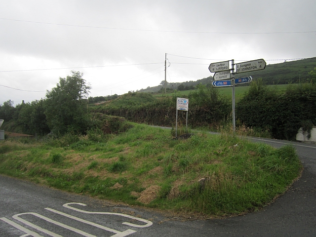
Road junction, Creatland
A local road junction under Binnion Hill.
![Creative Commons Licence [Some Rights Reserved]](https://s1.geograph.org.uk/img/somerights20.gif)
|
· Find out How to reuse this image ·
Share:
|
|||||
| Start a discussion on C3305 | Suggest an update to this image | Contact the contributor | |||
Loading map... (JavaScript required)
- Grid Square
- C3305, 3 images (more nearby
 )
)
- Photographer
- Richard Webb (find more nearby)
- Date Taken
- Wednesday, 18 July, 2012 (more nearby)
- Submitted
- Thursday, 26 July, 2012
- Geographical Context
- National Cycle Network (from Tags)
- Subject Location
-
Irish:
 C 331 053 [100m precision]
WGS84: 54:53.7004N 7:29.0927W - Camera Location
-
Irish: C 331 053
- View Direction
- Southwest (about 225 degrees)
Other Tags
Image classification(about):
Geograph (Second Visitor for C3305)
· First in 5 Years (TPoint) (about)
This page has been viewed about 36 times.
View this location:
KML (Google Earth) ·
Google Maps ·
Bing Maps ·
Geograph Coverage Map ·
More Links for this image
·
Bing Maps ·
Geograph Coverage Map ·
More Links for this image