J3528 : Approaching the saddle in the Mourne Mountains
taken 12 years ago, 5 km SSW of Newcastle, Co Down, Northern Ireland
This is 1 of 3 images, with title Approaching the saddle in the Mourne Mountains in this square
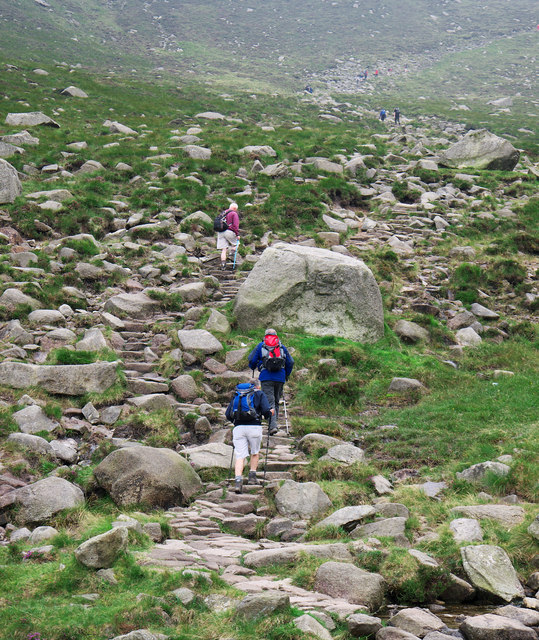
Approaching the saddle in the Mourne Mountains
On the path to Slieve Donard via the Glen River. Beginning the climb towards the saddle which lies between Slieve Donard and Slieve Commedagh.
![Creative Commons Licence [Some Rights Reserved]](https://s1.geograph.org.uk/img/somerights20.gif)
|
· Find out How to reuse this image ·
Share:
|
|||||
| Start a discussion on J3528 | Suggest an update to this image | Contact the contributor | |||
Loading map... (JavaScript required)
- Grid Square
- J3528, 100 images (more nearby
 )
)
- Photographer
- Rossographer (find more nearby)
- Date Taken
- Saturday, 11 August, 2012 (more nearby)
- Submitted
- Monday, 13 August, 2012
- Geographical Context
- River (from Tags)
- Place (from Tags)
- Subject Location
-
Irish:
 J 352 281 [100m precision]
WGS84: 54:11.0820N 5:55.7489W - Camera Location
-
Irish: J 352 281
- View Direction
- Southeast (about 135 degrees)
Image classification(about):
Geograph
This page has been viewed about 225 times.
View this location:
KML (Google Earth) ·
Google Maps ·
Bing Maps ·
Geograph Coverage Map ·
More Links for this image
·
Bing Maps ·
Geograph Coverage Map ·
More Links for this image