2012
ST9680 : High River Avon
taken 12 years ago, near to Lower Seagry, Wiltshire, England
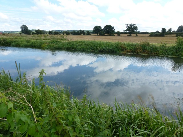
High River Avon
Seagry River Avon if it had not been for the levee this would have been near "bankfull" so the gravels did not show as in 1990 off the M4 view in passing. The vegetal mass is also greater so the stream channel seems more stable.
 Map © Crown Copyright")
TIP: Click the map for more Large scale mapping
- Grid Square
- ST9680, 8 images (more nearby 🔍)
- Photographer
- Michael Dennis Stagg (more nearby)
- Date Taken
- Saturday, 18 August, 2012 (more nearby)
- Submitted
- Saturday, 18 August, 2012
- Subject Location
-
OSGB36:
 ST 96512 80755 [1m precision]
WGS84: 51:31.5418N 2:3.1002W - Camera Location
-
OSGB36: ST 9647 8076
- View Direction
- East-southeast (about 112 degrees)