W6069 : Field at Curraheen
taken 12 years ago, near to Ballincollig, Co Cork, Ireland
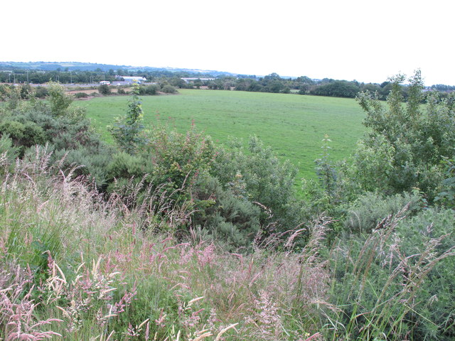
Field at Curraheen
View from spur to the N22 Tralee road and N28 South Ring Road of Cork. The latter is seen beyond the field.
![Creative Commons Licence [Some Rights Reserved]](https://s1.geograph.org.uk/img/somerights20.gif)
|
· Find out How to reuse this image ·
Share:
|
|||||
| Start a discussion on W6069 | Suggest an update to this image | Contact the contributor | |||
Loading map... (JavaScript required)
- Grid Square
- W6069, 3 images (more nearby
 )
)
- Photographer
- David Hawgood (find more nearby)
- Date Taken
- Friday, 6 July, 2012 (more nearby)
- Submitted
- Thursday, 23 August, 2012
- Geographical Context
- Subject Location
-
Irish:
 W 607 691 [100m precision]
WGS84: 51:52.4066N 8:34.2279W - Camera Location
-
Irish: W 606 690
- View Direction
- Northeast (about 45 degrees)
Other Tags
Image classification(about):
Geograph (Second Visitor for W6069)
This page has been viewed about 61 times.
View this location:
KML (Google Earth) ·
Google Maps ·
Bing Maps ·
Geograph Coverage Map ·
More Links for this image
·
Bing Maps ·
Geograph Coverage Map ·
More Links for this image