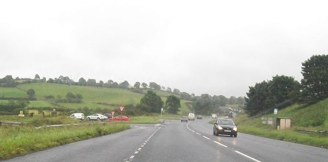
H5164 : The A5 (Curr Road) at the junction with the B46
taken 12 years ago, 3 km from Seskinore, Co Tyrone, Northern Ireland
![Creative Commons Licence [Some Rights Reserved]](https://s1.geograph.org.uk/img/somerights20.gif)
|
· Find out How to reuse this image ·
Share:
|
|||||
| Start a discussion on H5164 | Suggest an update to this image | Contact the contributor | |||
Loading map... (JavaScript required)
- Grid Square
- H5164, 132 images (more nearby
 )
)
- Photographer
- Eric Jones (find more nearby)
- Date Taken
- Monday, 23 July, 2012 (more nearby)
- Submitted
- Saturday, 6 October, 2012
- Geographical Context
- Subject Location
-
Irish:
 H 514 645 [100m precision]
WGS84: 54:31.5979N 7:12.3947W - Camera Location
-
Irish: H 513 646
- View Direction
- East-southeast (about 112 degrees)
Image classification(about):
Geograph (Third Visitor for H5164)
This page has been viewed about 13 times.
View this location:
KML (Google Earth) ·
Google Maps ·
Bing Maps ·
Geograph Coverage Map ·
More Links for this image
·
Bing Maps ·
Geograph Coverage Map ·
More Links for this image