G9890 : Croaghbarnes
taken 11 years ago, 7 km SSW of Commeen, Co Donegal, Ireland
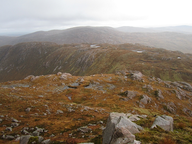
Croaghbarnes
Looking down onto the broad ridge of Croaghbarnes on the eastern end of the Bluestack Mountains.
![Creative Commons Licence [Some Rights Reserved]](https://s1.geograph.org.uk/img/somerights20.gif)
|
· Find out How to reuse this image ·
Share:
|
|||||
| Start a discussion on G9890 | Suggest an update to this image | Contact the contributor | |||
Loading map... (JavaScript required)
- Grid Square
- G9890, 8 images (more nearby
 )
)
- Photographer
- Richard Webb (find more nearby)
- Date Taken
- Friday, 19 October, 2012 (more nearby)
- Submitted
- Tuesday, 23 October, 2012
- Geographical Context
- Subject Location
-
Irish:
 G 984 901 [100m precision]
WGS84: 54:45.5628N 8:1.4616W - Camera Location
-
Irish: G 980 905
- View Direction
- Southeast (about 135 degrees)
Other Tags
Image classification(about):
Geograph (Second Visitor for G9890)
· First in 5 Years (TPoint) (about)
This page has been viewed about 27 times.
View this location:
KML (Google Earth) ·
Google Maps ·
Bing Maps ·
Geograph Coverage Map ·
More Links for this image
·
Bing Maps ·
Geograph Coverage Map ·
More Links for this image