J4079 : View south-eastwards along Seapark Road from the edge of the beach
taken 12 years ago, near to Cultra, Co Down, Northern Ireland
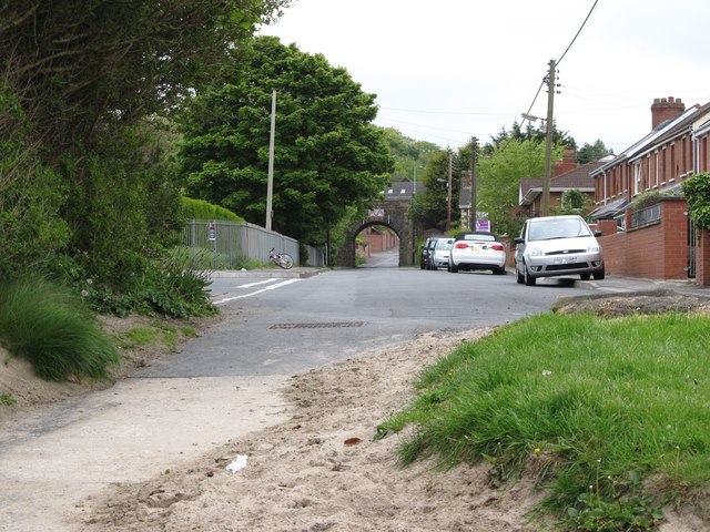
View south-eastwards along Seapark Road from the edge of the beach
The road junction in the foreground is that with Ballymenoch Park. A railway bridge can be seen in the distance.
![Creative Commons Licence [Some Rights Reserved]](https://s1.geograph.org.uk/img/somerights20.gif)
|
· Find out How to reuse this image ·
Share:
|
|||||
| Start a discussion on J4079 | Suggest an update to this image | Contact the contributor | |||
Loading map... (JavaScript required)
- Grid Square
- J4079, 199 images (more nearby
 )
)
- Photographer
- Eric Jones (find more nearby)
- Date Taken
- Sunday, 20 May, 2012 (more nearby)
- Submitted
- Tuesday, 6 November, 2012
- Geographical Context
- Subject Location
-
Irish:
 J 403 797 [100m precision]
WGS84: 54:38.7550N 5:49.6045W - Camera Location
-
Irish: J 402 797
- View Direction
- Southeast (about 135 degrees)
Image classification(about):
Geograph
This page has been viewed about 32 times.
View this location:
KML (Google Earth) ·
Google Maps ·
Bing Maps ·
Geograph Coverage Map ·
More Links for this image
·
Bing Maps ·
Geograph Coverage Map ·
More Links for this image